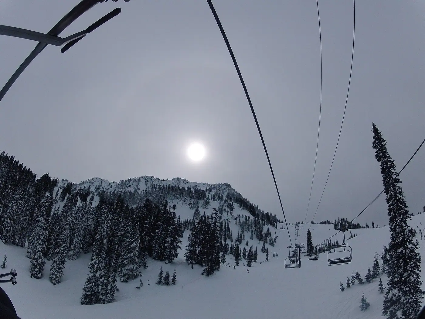

In summer Stevens Pass has 5 trailheads within about 4 miles, Skyline Lake 1.0 miles from the main base.
- 10lifts on the map
- 79mapped runs
- 1,840 ftvertical, lowest lift to top
- 5,670 fthighest point mapped
- 5trailheads within 4 mi
- 1.0 mito the nearest named lake
Places to stay
The map shows no named lodging within about 5.5 miles of a lift here yet. Towns farther down the road are your best bet; the mountain's own site often lists them.
Summer at Stevens Pass
Read from OpenStreetMap; distances are straight-line from the main base. What runs in summer, and when, is up to the mountain: check its own calendar.
- Nearest trailheadsPacific Crest - Stevens North Trailhead (0.3 mi), Wellington Trailhead (1.8 mi), Tunnel Creek Trailhead (2.3 mi)
- Lakes nearbySkyline Lake (1.0 mi), Grace Lakes (1.1 mi), Summit Lake (1.2 mi)
The mountain in winter
Counts come from the map, which can lag behind a new lift or a renamed run.
- Runs by difficulty on the map25 easier, 35 more difficult, 13 most difficult, 1 expert
Other mountains close by
Good to know
Is Stevens Pass worth a summer trip?
The map shows 5 trailheads within about 4 miles; Skyline Lake 1.0 miles from the main base. Lift-served biking and summer rides depend on the operator's season, so check its site for dates.
How high does Stevens Pass go?
The highest point on our map is about 5,670 feet, and the lowest lift starts near 3,830 feet, a drop of about 1,840 feet. Elevations come from the map's terrain model, so treat them as close, not exact.
How do you work out the minutes?
Along a mapped walking route from each place to stay to the bottom station of the nearest chairlift, gondola or tram you can walk to, at an easy pace. Where the map has no route we give the distance as the crow flies instead of minutes. How we measure.